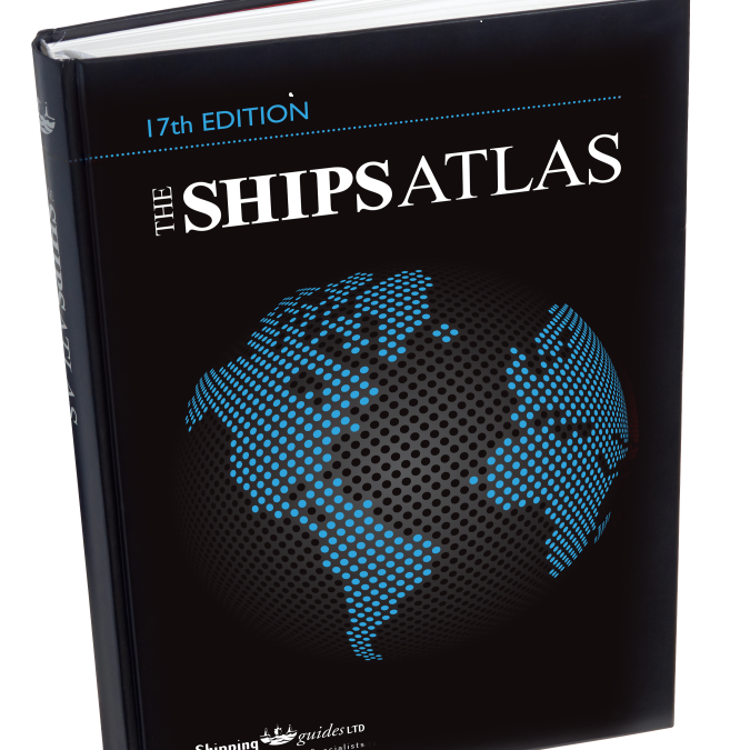
We are pleased to announce the release of the 17th Edition of “The Ships Atlas”, available to purchase as of December 2017.
In this Edition includes;
- Over 3 times more maps than any other maritime atlas, over 150 in total
- Double the index content in a user-friendly format
- 12 maritime themed maps included which retail at over £160
- As port information specialists, unrivalled port information content is available in the index including precise port co-ordinates for all global ports and terminals
- Unique port icons depicting the cargoes handled, relative size and drydock availability
- Includes a 30-day free trial of FindaportCD for digital access to port locations and information
- New to this Edition:
-
- 1066 new ports added to the map and index content
- 3000 updates to the index content
- 2 new themed maps: Additional Emissions Regulations and Shipping Chokepoints
- MARPOL 73/78 map expanded and includes new IMO regulations for polar waters
- New Particularly Sensitive Sea Area (PSSA) and Area to be Avoided (ATBA) added to the Sensitive Sea Areas map
- Expanded ‘River Plate to Paranagua’ map

