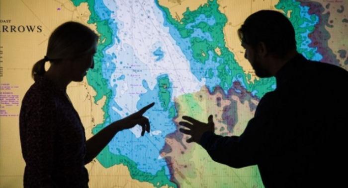
The UK Government will invest £5 million to help the UK Hydrographic Office and partner bodies on Geospatial Commission enhance the value of location-based information.
UK government’s Geospatial Commission aims to improve the quality of key, publicly-held data and make it easier to access and use. By doing so, it is estimated the commission will unlock up to £11 billion of extra value for the UK economy each year.
The UK Hydrographic Office (UKHO) holds a range of UK marine geospatial data, including high resolution bathymetry depicting the seafloor, as well as information on the water itself.
UKHO also processes information on maritime security, marine life, maritime limits and more. This data helps organisations make better use of the marine environment and use ocean resources in a sustainable way.
Now, the UKHO will deliver 4 exploratory projects:
- Data discoverability – assessing and improving access to current data sets;
- Linked identifiers – supporting users to bring different data together in valuable new ways;
- Licencing – working towards simple, common licensing terms to increase data use;
- Enhancing core data assets – using third party data to improve the quality of data and make its collection more efficient.
John Humphrey CEO at the UK Hydrographic Office, mentioned:
“Marine geospatial data is fundamental to helping us to make…”(Read More) Source:https://safety4sea.com/uk-invests-5-mil-to-improve-location-based-information/

