by Poseidon Navigation | Jul 3, 2019 | Company News
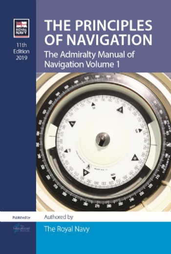
The UK Royal Navy’s classic work on maritime navigation has been thoroughly updated to bring it into the era of electronic navigation. Now in its eleventh edition, The Admiralty Manual of Navigation, Vol 1 – The Principles of Navigation provides authoritative...
by Poseidon Navigation | Jul 3, 2019 | Industry News
July 1st marked the First World Marine Aids to Navigation Day. The day is established by IALA, and aims to promote greater awareness to mariners and the wider public regarding the crucial role of Aids to Navigation to ensure a safe and efficient navigation. Events...

by Poseidon Navigation | Jul 3, 2019 | New Editions
Chart & Publications Title Edition Due Reproductions of Papua New Guinea Government Charts PNG509 Papua New Guinea, North East Coast, Long Reef to Normanby Island. 14/06/2019 New Editions of Admiralty Charts published 11th July 2019 1065 Korea – South Coast,...

by Poseidon Navigation | Jun 25, 2019 | Company News
Our Challenger software has been designed and developed by Poseidon to provide the Mariner with a simple yet effective solution for receiving weekly electronic Notices to Mariners and Navigational updates, enabling the vessel to remain compliant with maritime...

by Poseidon Navigation | Jun 25, 2019 | Industry News
Vessels use mooring lines in order to be secured next to dock, pier or terminal. The lines may be ropes, wires, or combination (ropes with tails or wire with tails). The minimum size and number of required lines for a vessel are determined by the Classification...
